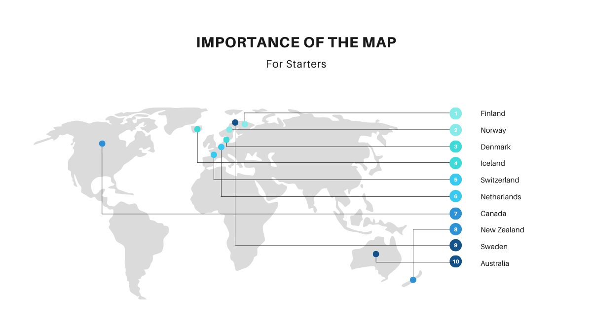
Know The Basic of Importance Of The Map
What is a Map?
A map is an image of an area usually of the earth or part of the earth. Maps represent information about the world in a simple and visual way. The study of the map is called cartography. Who makes the map is called the cartographer. Here we’ll discuss the importance of the map.
Types Of Maps
Before getting to the importance of the map it is very important to understand the type of map. There are mainly six types of maps:
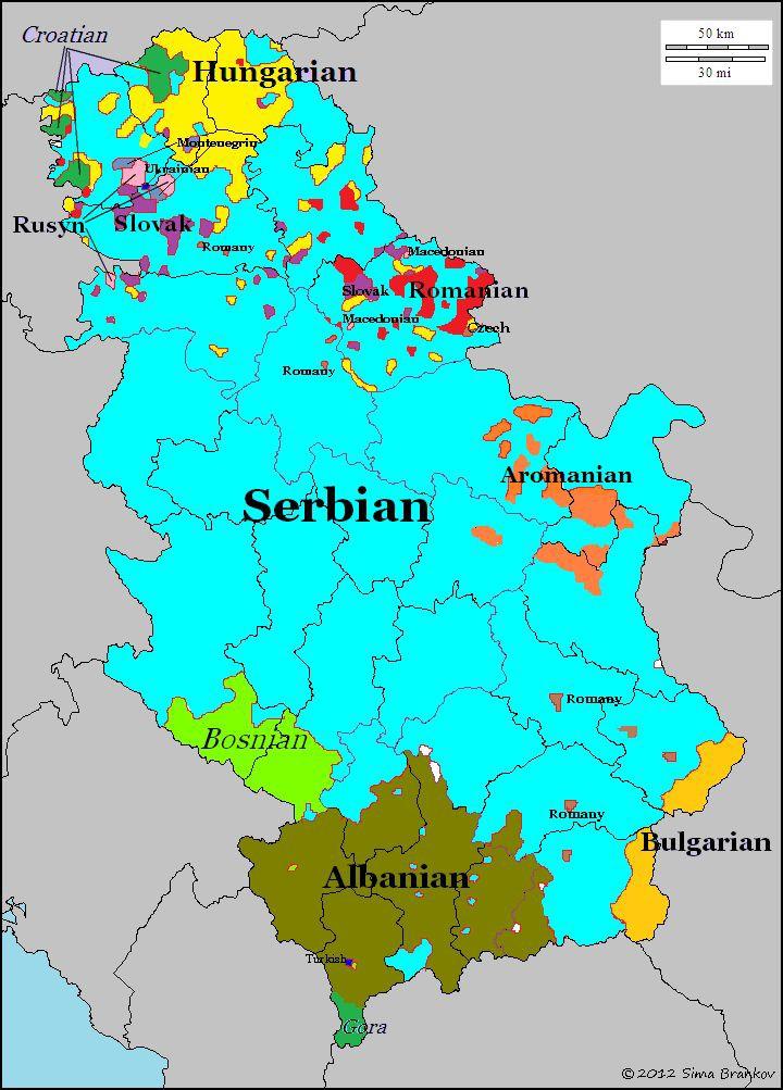
Political map
A political map represents countries, states and towns. Often they are painted different colors, so we can see them better.
The importance of the map (political map) shows names and boundaries.
Physical maps
physical maps are designed to show the landscape’s features of Earth. They are best known for showing topography, either by colors or as shaded relief.
We can say that the Physical maps and Political maps are two sides of the same coin because, Physical maps usually show the most important political boundaries, such as state and country boundaries. Major cities and major roads are often shown.
Road maps
A map especially one designed for somebody driving car, showing the roads in a particular area or country.
It also serves as a communication tool, a high level document that helps articulate strategic thinking. This is the importance of the map (Road maps).
Topographic maps
Topographic maps are a detailed record of a land area, giving geographic position and elevation for both natural and man-made features.
They show the shape of land the mountains, valleys, and plains by means of contour lines ( lines of equal elevation above sea level).
Time zone maps
A time zone is ideally one of 24 spherical lunes ( section on the globe in a north/south direction ) with equal- width each assigned with one of the 24 hours (one day).
This map gives an overview of current local times around the world.
Climatic maps
A weather map, also known as synoptic weather chart.
It displays various meteorological features across a particular area at a particular point in time and has various symbols which all have specific meanings.
Elements Of Map (Importance Of The Map)
Some components of the map are distance, direction, symbols, title, north arrow, citation, data frame, legend, labels, grids and index, scale, etc. These are the important elements of a map to understand the importance of the map.
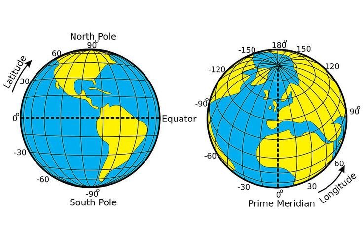
What are Latitude and Longitude?
Latitudes and longitudes are the angles that uniquely define points on a sphere. They are imaginary lines. Latitude is defined with respect to an equatorial reference plane. This plane passes through the center C of the sphere, and also contains the great circle representing the equator. Lines of the latitude runes from east-west around the globe and are used to measure distances north and south of the equator.
Longitude is the measurements east or west of the prime meridian. The lines of longitude run from north pole to south pole. Each is identified by the number of degrees. The length of a degree of longitude depends only on the radius of a circle of latitude. To read a map it should be clear that you know what are latitude and longitude. If it is clear to you what are latitude and longitude you will understand the importance of the map in a better way and will be able to understand everything on the map.
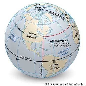
How do Latitude and Longitude help in map?
The earth is divided into degrees of latitude and longitude which helps us measure location and time using a single standard. Lattitude and longitude make up the grid system that helps us identify the absolute or exact location on the earth’s surface. When used together, longitude and latitude define a specific location through geographical coordinates. Now, I hope you understood latitude and longitude so now we’ll know the importance of the map or why the map is important for us?
Also Read: 15 Best Apps Websites School Olympiad Competition Exams 2020
Why Map Is Important For Us?
Maps can save your life
Maps save us from getting lost, ensure that we get to locations on time.
Maps connect you to your memories
If we go anywhere and if we see that place in maps ,my guess is that maps connect you to your memories.
Maps help us to travel from one location to another
If we go anywhere and we lost and we couldn’t find where to go at that time maps help us.
To calculate distance between two places
Maps can also help you to determine the distances between two (or more) places. The scales on the map can be of different types, ranging from words and ratio to pictorial scales.
These are the basic importance of the map.
Conclusion (importance of the map)
As we can see that maps are very useful for us. Now it is also available in our smartphones which will also help in many ways.
In maps, their elements help us to observe the map, if elements will not be in maps we can’t make maps or observe the maps.
There are many types of maps each of them is used for different purposes. Maps have also imaginary lines that help us to measure locations and time. If you think this article become helpful for you to understand the basic importance of the map please share it with your friend, family, or mates.
So after looking at all this information we observe that if the map will not be in our life we can’t measure location at a smaller place, we can’t measure time, we can’t find our location where we want to go.
This is my first article written on WWW.
🚨 Stay Updated with TopKhoj! 🚨
Get the latest tech news, deals, and exclusive offers first!
📰 Visit News Section📲 Join our Telegram Channel for real-time updates and best deals!
🔗 Join Telegram Now💡 Stay informed and never miss a great deal with TopKhoj!
⚠️ Disclaimer: Any link provided in the article related to a product or service will redirect you to our affiliate partner(s)' website, which are affiliate links. This means that if you make a purchase through these links, we may earn a commission at no extra cost to you. This commission helps support our blog and our work.
🔔 All prices mentioned above are subject to change based on current offers and availability on e-commerce platforms. Please check the latest price and product details on the product page before making a purchase.